Mulhuddart Cemetery
Mulhuddart Cemetery graveyard is located in flat pasture land on the east side of a third class road to the northwest of the N3. The oldest section of the graveyard has a curving boundary which may represent the remains of an early medieval enclosure.
Historical Context
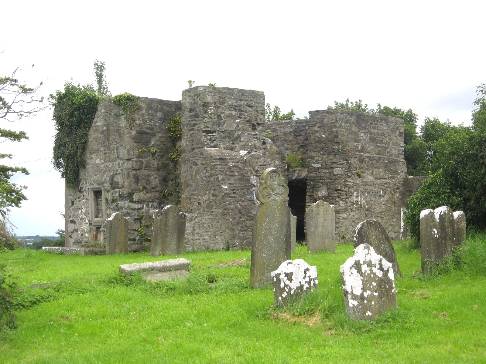
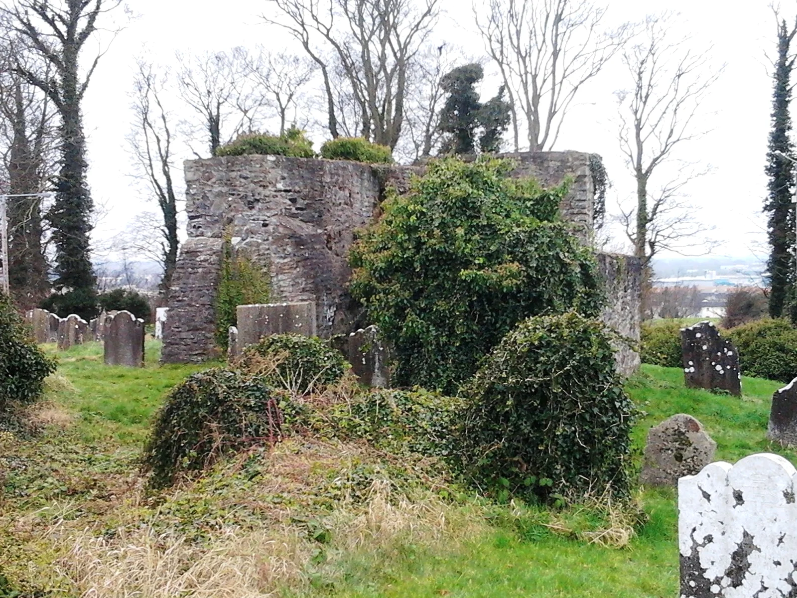
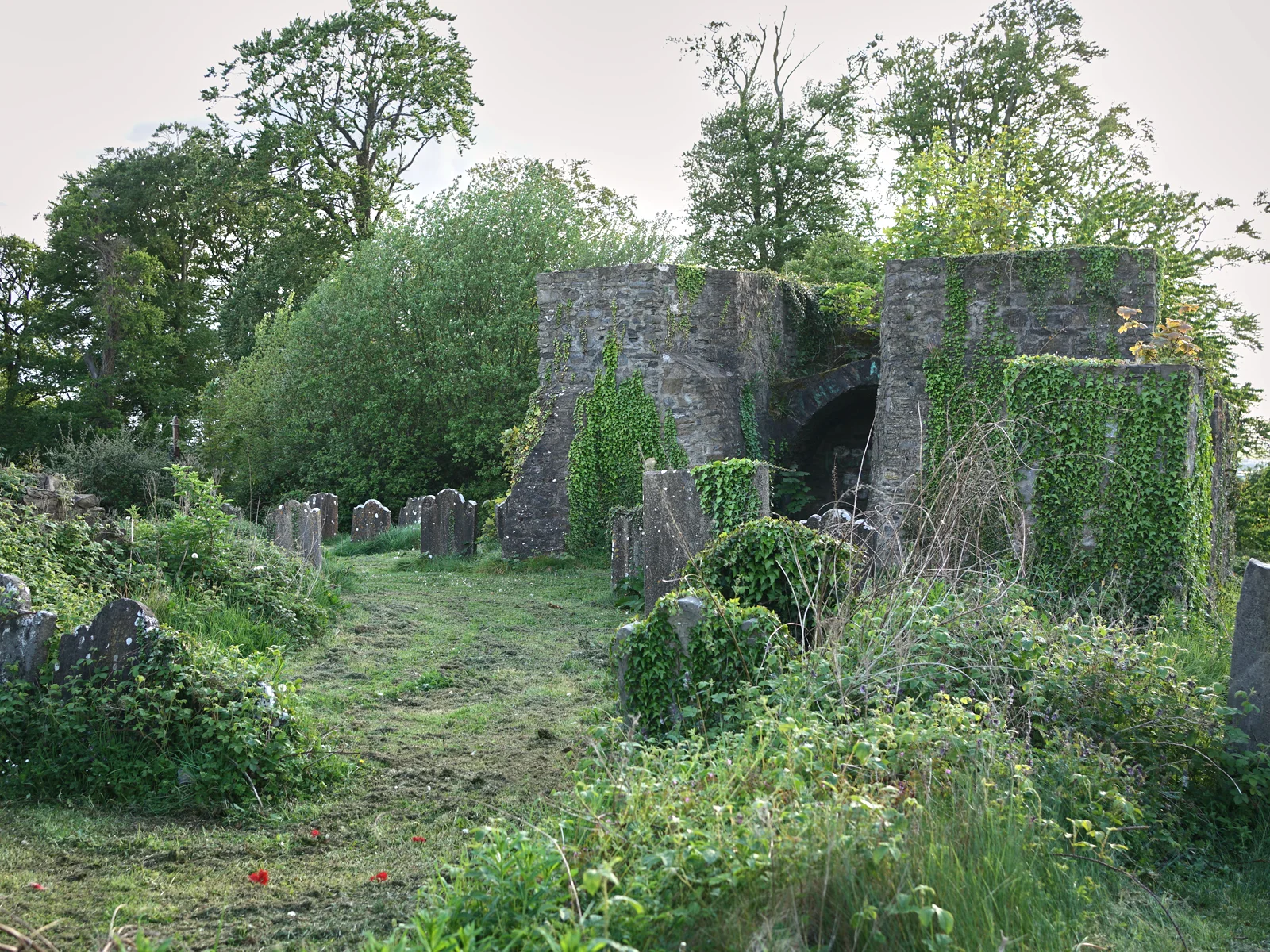
The name Mulhuddart is derived from Mullaghhiddart or the hill of Hiddart. The church of Buzzardstown is situated in a raised graveyard. Interesting features in the church include the original wicker centering on the ground floor. The church was first referred to in the early 15th century was dedicated to the Blessed Virgin Mary. In 1532 Henry VIII granted license to found a fraternity or guild at the site. The church was in poor condition by the mid-17th century and the Civil Survey (1654) records only ‘the walls of a church’ here.
Our Lady’s Well is now on the right hand side of the road some distance from the graveyard. Local tradition records that when it first sprang up in was on the left hand side of the road. The pattern at Our Lady’s Well is held on Our Lady’s feast days on the 25th March, 15th August and 8th December. It is reputed to have great healing powers.
Archaeological and Architectural Features
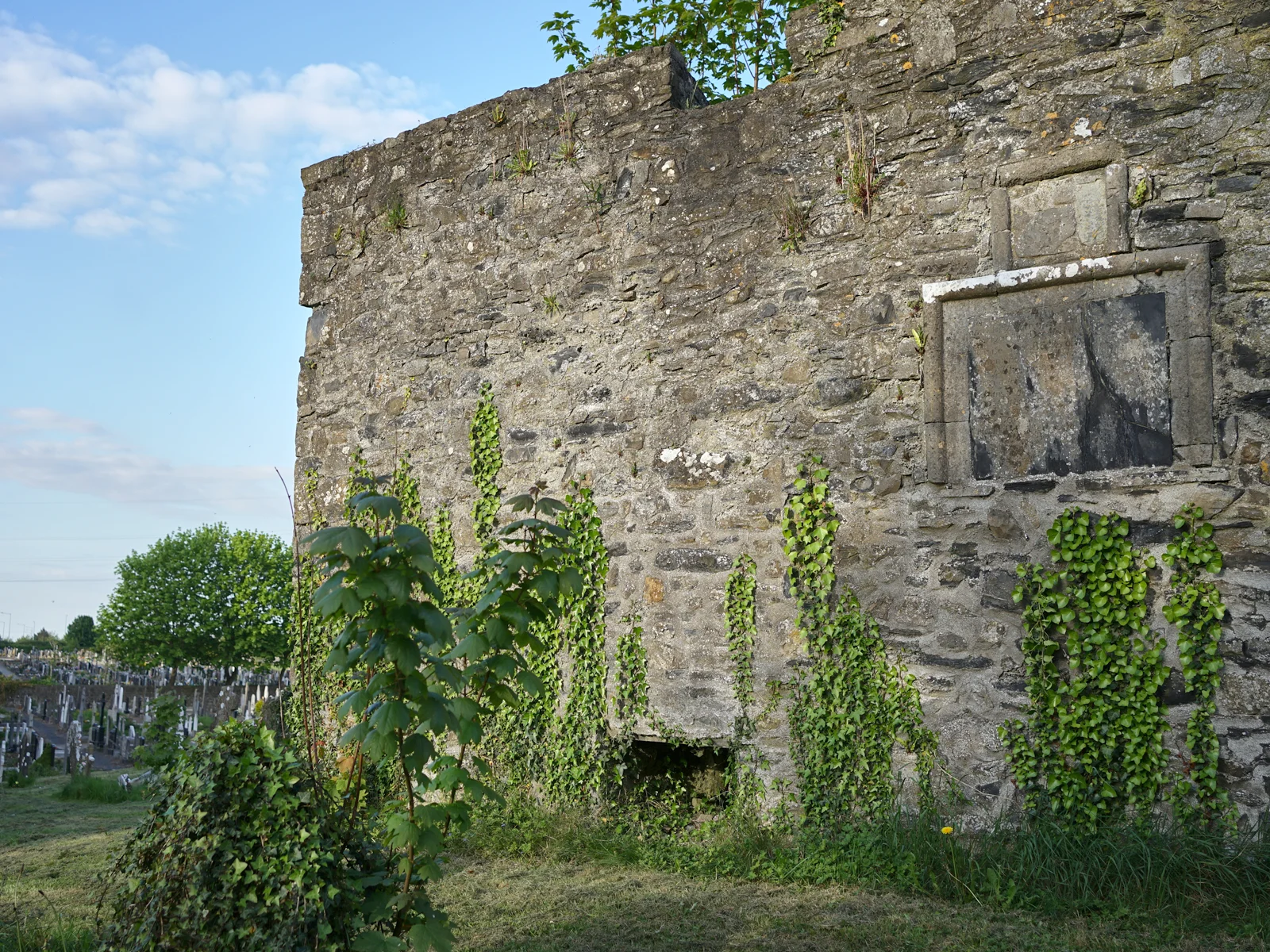
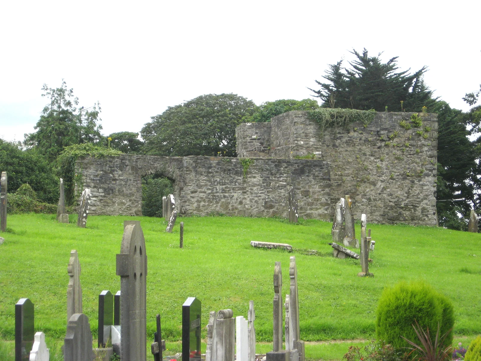
The standing remains within the graveyard (DU013-01002) consist of an undivided nave and chancel church with a tower at the west end. It is constructed of roughly coursed limestone with dressed quoins. The ground floor of the tower is vaulted. There is a splayed window in the west wall. The walls of the east end of the church survive at foundation level. There are a considerable number of burials within the church and a mural tablet on the exterior of the west wall of the tower.
General Description
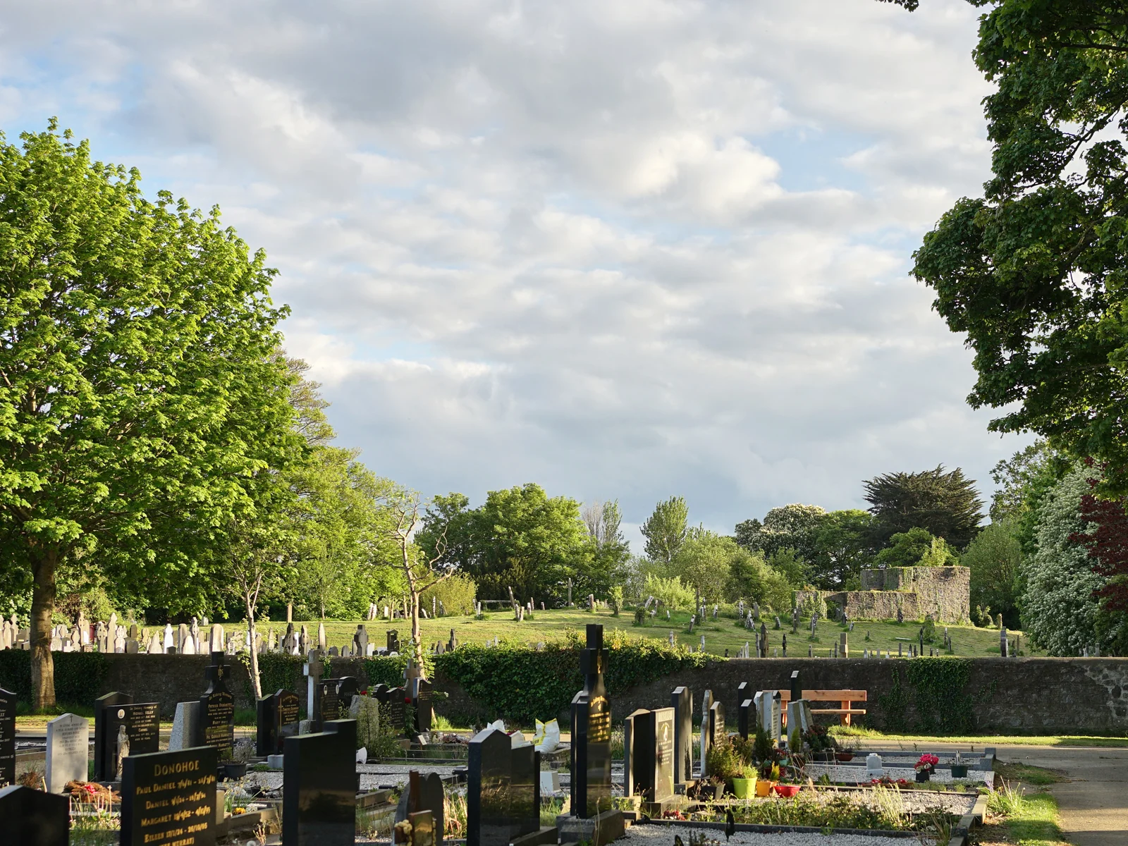
The graveyard is in three main sections. The oldest section is the raised area surrounding the church which is located on high ground at the south end of the graveyard. It is bounded by a curving, squared rubble wall with stone coping and a cast-iron pedestrian gate. This may represent the remains of an early medieval enclosure. This section has grave markers to the south, north and east with individual examples to the west of the church. There is a modern late 20th century extension to the north which is surrounded by a concrete breeze blocks wall. There is a squared rubble wall between the two modern sections of the graveyard.
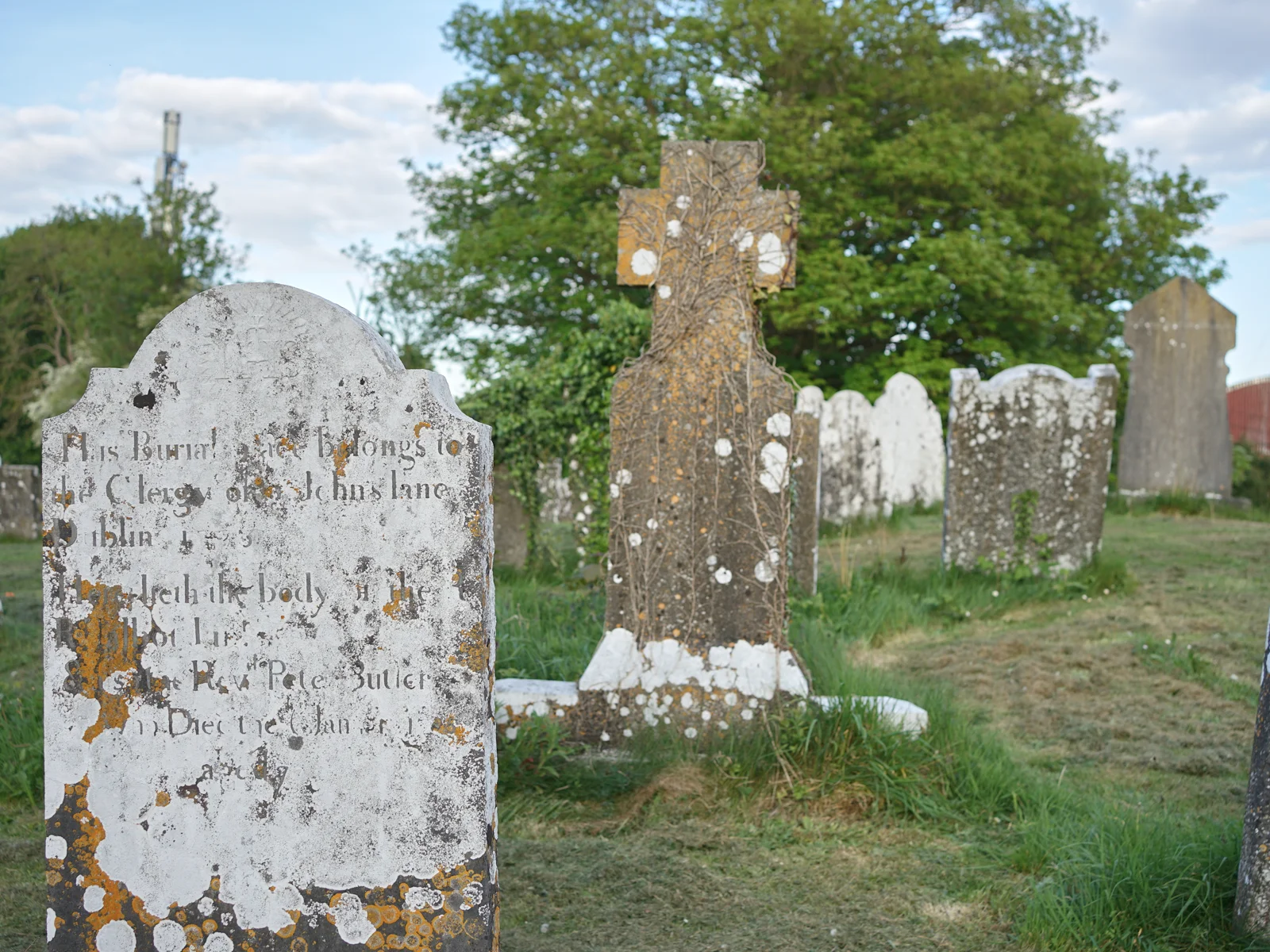
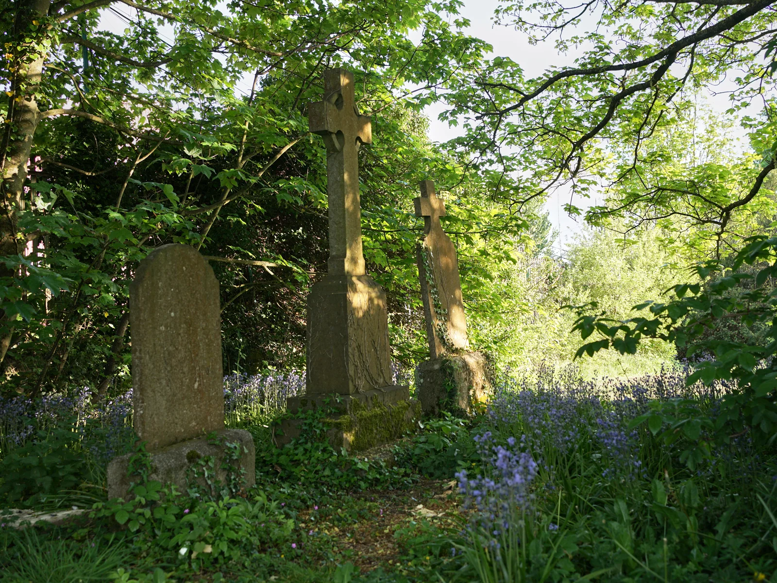
The older section of the graveyard contains 18th, 19th, 20th and 21st century headstones, mostly inscribed with curved tops. There are some flat stones, one of which is heavily over painted and some cast-iron crosses and table tombs. There is a significant 18th century mural tablet on exterior of west wall of tower. It is surrounded by a roll moulding with a smaller inscribed panel above. The panel is laminated and the lower part is damaged. It is inscribed as follows "Here let the bodies of Denis Comins and Mary Warren and of Margaret Comins, their daughter deceased the of July 1675. Likewise the bodies of Denis Comins of Godamendy, son of ye above Denis and Mary who departed this life the 9th of May 1709 aged 60 and of his wife Margaret Comins alias Lynch....to ye age of 90 and died ye 30th Feb....(d) ye bodies of four of their sons Bartho....ye age of 17 in 1707, Patrick he died....after he had lived 52 years...of December 1748 being their....ye... and Jane his wife." There are a number of re-used architectural fragment in the graveyard. To the east of the church is an unusual T-shaped cross dedicated to Mary Mears dating to 1764.
The modern section of the graveyard contains well organised lines of east and west facing headstones with some free-standing Celtic crosses dating to the 20th century. The late 20th century extension at the north end of the graveyard is still in use.
Fingal County Council is responsible for this graveyard and its records.
Surveys: M. Egan Vol.5 p52 JAPMDI iii p444; v p379, viii p57-59, xii p226 & Vol. xiii p6. See also Ball Vol. vii p38-46
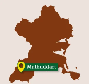
Directions to Mulhuddart
Tip: directions will open in a new tab. You may need to enter your starting location manually.