Chapelmidway Cemetery
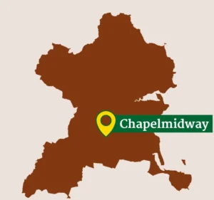
Chapelmidway Cemetery is located in flat tillage land on the west side of the R122, midway between Kilsallaghan and St. Margaret's. Crop marks are evident in the fields surrounding the graveyard which may represent original enclosing elements or simply removed field boundaries.
Historical Context
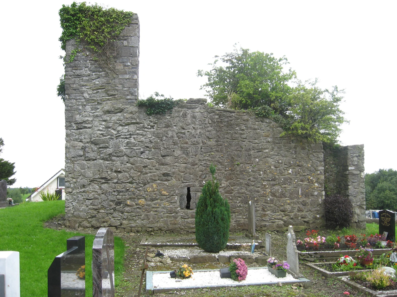
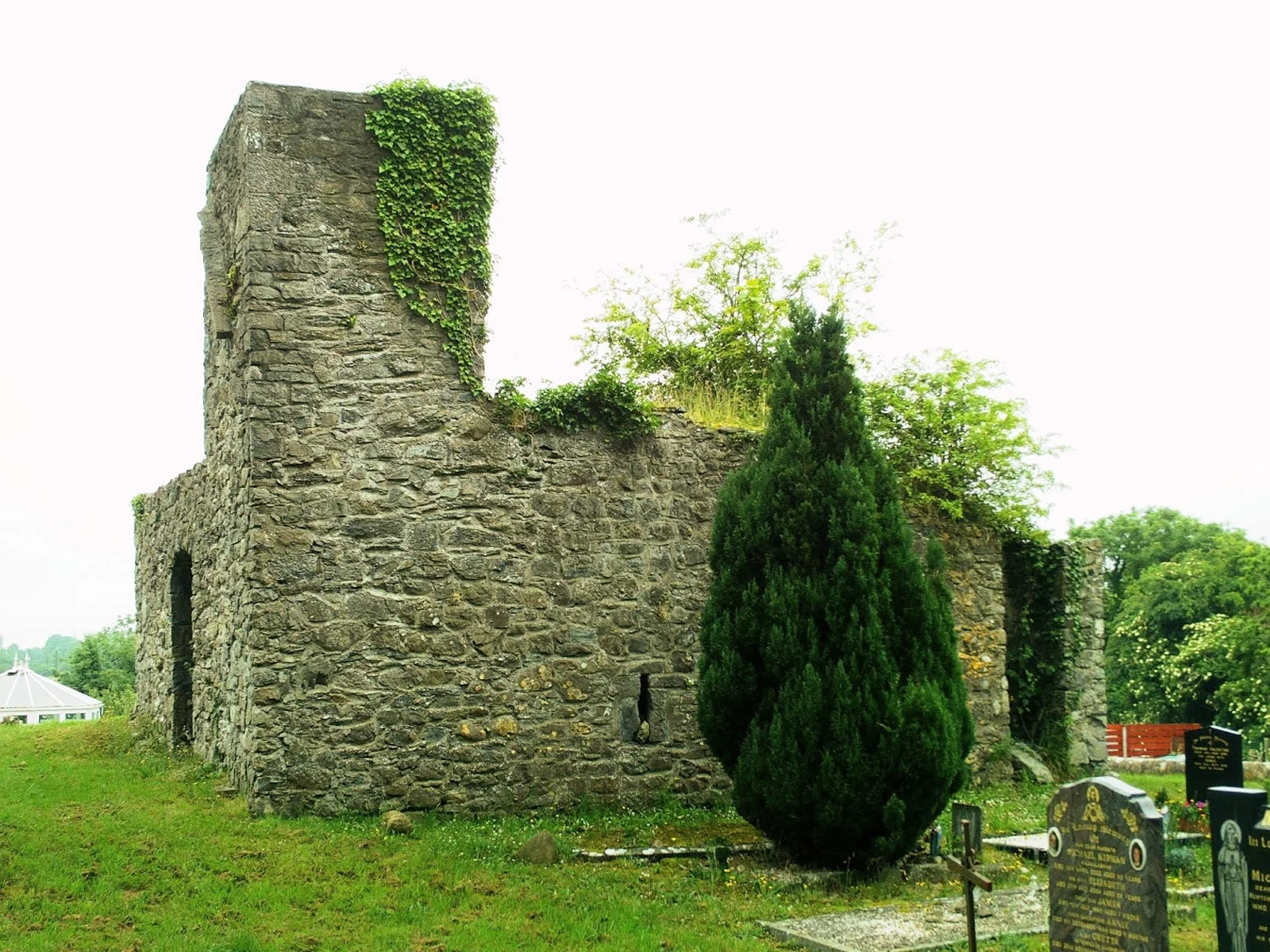
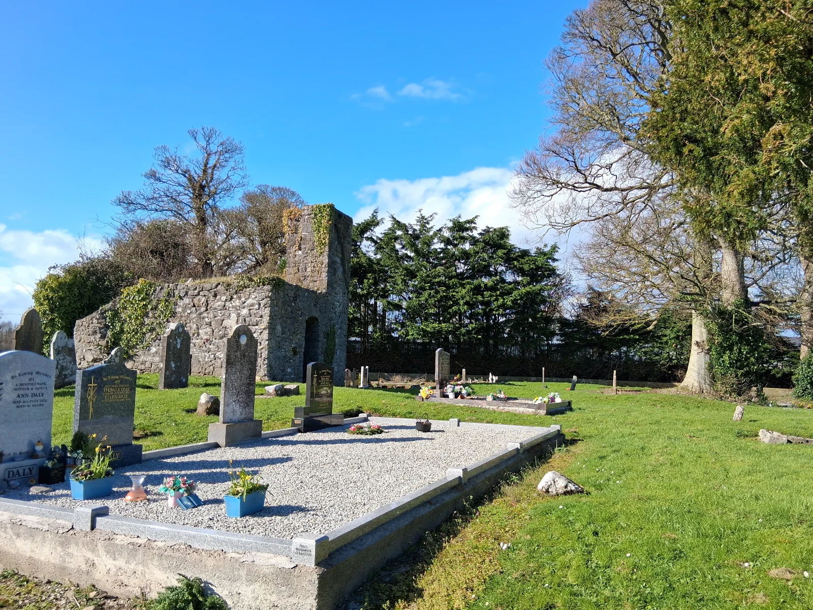
Chapelmidway is named for its location midway between the old church sites at Kilsallaghan and St. Margaret's. The site is situated in a raised position within a walled graveyard. All that survives of the original building is the base of a west tower however, foundations can be traced over an area c.8m east of the tower. According to Joyce this was a subsidiary chapel to Kilsallaghan. Little information is available regarding when the once substantial Church of Chapelmidway was destroyed, but it was certainly in ruins by 1615 AD. Local tradition records that the church was knocked down in the time of Cromwell.
Archaeological and Architectural Features
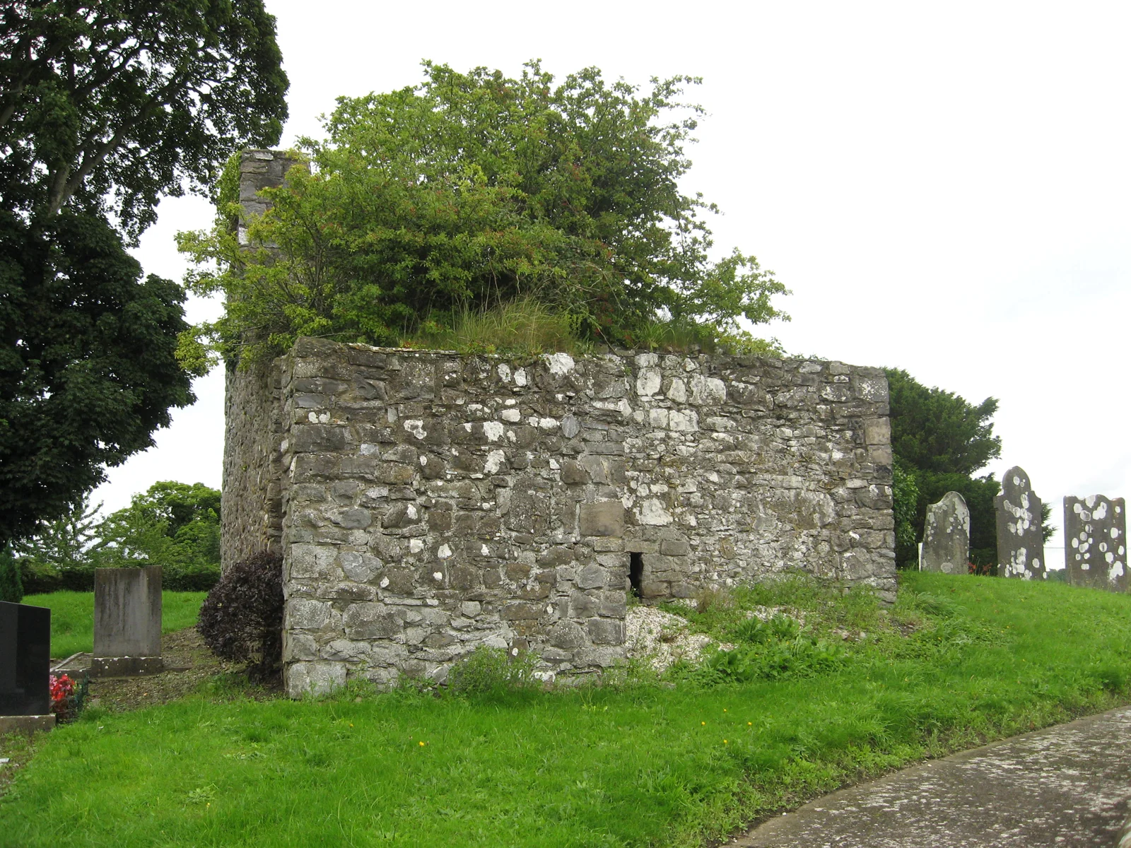
The graveyard contains the remains of the base of a church tower constructed of roughly coursed random rubble limestone. There is a segmental-headed opening in the east wall leading to a barrel vaulted chamber comprising the ground floor. There is an external staircase to the south of the tower leading to the first floor. There are wall footings running east of the tower and possible footings to the south of the tower.
General Description
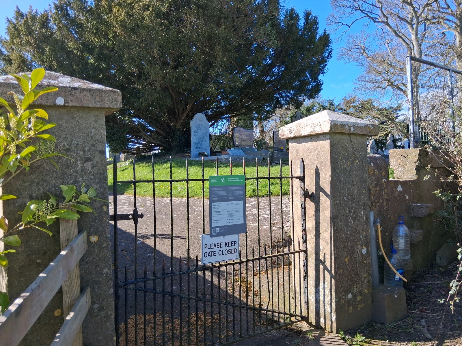
Sub-rectangular graveyard bounded by cement rendered wall. The ground level within the graveyard is raised above the surrounding area. The graveyard contains a mixture of 18th, 19th and 20th century headstones and free-standing crosses. The modern burials are in rows and are concentrated in northwest and southeast of the graveyard, with individual modern burials elsewhere. The earlier markers are located to the east of the tower and comprise headstones with curved tops and IHS markers in sunbursts. The burial markers are predominantly east-facing. There is a possibility of unmarked burials as the ground is generally undulating. There is a broken stone with a crest and crucifixion plaque and an uninscribed pillar stone to the east of the tower. There is a possible re-used architectural fragment to the north of the church. The 20th century markers include a cast-iron cross and simple timber crosses. The oldest marker is located to the southeast of the church and dates to the mid-18th century. It is inscribed on both faces as follows "Jesus though to ye merits of thy passion deliver us John Kelly Patrick Kelly" on the east face and "This stone belongs to" on the west face.
Fingal County Council is responsible for this cemetery and its records.
Surveys: JAPMDI xii p34-36, p506-507. M. Egan Vol.5 p23-24
Directions to Chapelmidway
Tip: directions will open in a new tab. You may need to enter your starting location manually.